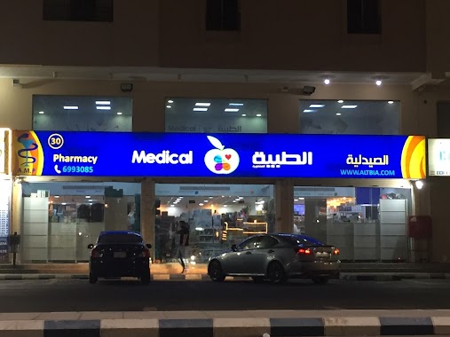
Pharmacy nearby Advanced sailed Medical Pharmacy الصيدلية الطبية
Saudi Arabia
Pharmacy nearby Advanced sailed Medical Pharmacy الصيدلية الطبية
Advanced sailed Medical Pharmacy الصيدلية الطبية
حي ابحر الشمالية، Obhur Al-Shamaliyah, Jeddah 23817, Saudi Arabia
contacts phone
:
+966 12 699 3085
Latitude:
21.7562937
, Longitude:
39.1212198
larger map & directions
read more
nearest Pharmacy
47 m
صيدلية نورا العالمية الطبية
شارع عابر القارات، أبحر الفرعي،, Jeddah
Pharmacy
read more
300 m
صيدلية المجتمع الحديثة
ابحر شارع عابر القرات, Jeddah
Pharmacy
read more
890 m
Nadhi
8739, حي ابحر الشمالية, Jeddah
Pharmacy
read more
1.068 km
صيدلية غاية Ghaya pharmacy
8869, Abhur Ash Shamaliyah District 3835, Jeddah
Pharmacy
read more
1.984 km
Nahdi
Obhur, Jeddah
Pharmacy
read more
2.288 km
Nahdi
Hazm Ibn Abi Kaab, Jeddah
Pharmacy
read more
2.319 km
Modern society Pharmacy 11
Jeddah
Pharmacy
read more
2.533 km
DWAA
Hazm Ibn Abi Kaab, Jeddah
Pharmacy
read more
2.613 km
ابحر الشماليه
8162 جبل القلعة، حي ابحر الجنوبية جدة 23734
Pharmacy
read more
2.69 km
صيدلية المجتمع الحديثة 22
Jeddah
Pharmacy
read more
2.739 km
Al-Dawaa
Jeddah
Pharmacy
read more
2.774 km
صدلية دواء
Al Fardoos, مكة
Pharmacy
read more
3.485 km
Daan Pharmacy
Prince Abdulmajeed, Jeddah
Pharmacy
read more
3.678 km
Al Mujtama Pharmacy 5
Prince Abdulmajeed, Jeddah
Pharmacy
read more
3.967 km
Al Rimal Pharmacy
Jeddah
Pharmacy
read more
3.979 km
صيدلية الحياة
شارع العلوم،، جدة
Pharmacy
read more
4.346 km
El Mujtama Evolving Pharmacy 14
Jeddah
Pharmacy
read more
4.483 km
صيدلية مؤسسة عمار 16
Unnamed Road, Jeddah
Pharmacy
read more
4.572 km
Al Sudais Pharmacy
8037, حي الياقوت, Jeddah
Pharmacy
read more
4.579 km
صيدلية الفجر السامي 5
2767 حي طيبة جدة 23831
Pharmacy
read more
4.916 km
Daan Pharmacy
Jeddah
Pharmacy
read more
5.763 km
DAAN
Jeddah
Pharmacy
read more
6.216 km
Nahdi
8146, Taibah District, Jeddah
Pharmacy
read more
6.258 km
Nahdi
7172 Al Murjan, Jeddah
Pharmacy
read more
6.293 km
Nahdi
King Abdulaziz Branch Road, Jeddah
Pharmacy
read more
📑
all categories
Accounting
Administrative area level 1
Airport
Amusement park
Aquarium
Art gallery
Atm
Bakery
Bank
Bar
Beauty salon
Bicycle store
Book store
Bowling alley
Bus station
Cafe
Campground
Car dealer
Car rental
Car repair
Car wash
Casino
Cemetery
Church
City hall
Clothing store
Colloquial area
Convenience store
Country
Courthouse
Dentist
Department store
Doctor
Electrician
Electronics store
Embassy
Finance
Fire station
Florist
Food
Funeral home
Furniture store
Gas station
General contractor
Grocery or supermarket
Gym
Hair care
Hardware store
Health
Hindu Temple
Home goods store
Hospital
Insurance agency
Intersection
Jewelry store
Laundry
Lawyer
Library
Light rail station
Liquor store
Local government office
Locality
Locksmith
Lodging
Meal delivery
Meal takeaway
Mosque
Movie rental
Movie theater
Moving company
Museum
Natural feature
Neighborhood
Night club
Painter
Park
Parking
Pet store
Pharmacy
Physiotherapist
Place of worship
Plumber
Point of interest
Police
Political
Post office
Premise
Real estate agency
Restaurant
Roofing contractor
Route
Rv park, camping
School
Shoe store
Shopping mall
Spa
Stadium
Storage
Store
Sublocality
Subpremise
Subway station
Supermarket
Taxi stand
Train station
Transit station
Travel agency
University
Veterinary care
Zoo
sublocality level 1
↑