Pharmacy nearby Al-Dawaa
Saudi Arabia
Pharmacy nearby Al-Dawaa
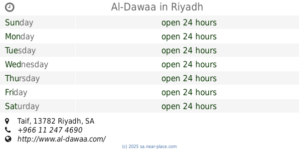
Al-Dawaa
3631 ينبع، ظهرة لبن الرياض 13784 7806, Yanbu, 13784, Riyadh, SA Saudi Arabia
contacts phone
:
+966
website:
www.al-dawaa.com
Latitude:
24.632579
, Longitude:
46.5420579
larger map & directions
read more
nearest Pharmacy
562 m
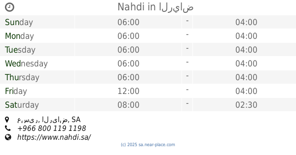
Nahdi
3059 الناصفة, Riyadh
Pharmacy
read more
568 m
Nahdi
Yanbu, Riyadh
Pharmacy
read more
651 m
صيدلية حرف القاف
8175 Hail, Dhahrat Laban Riyadh 13784 3144 Hail, Riyadh
Pharmacy
read more
663 m
صيدلية وصفات الصحة
8233 Hail, Riyadh
Pharmacy
read more
708 m
صيدلية كنوز
الطائف Taif, 3329-, Riyadh
Pharmacy
read more
712 m
Al-Dawaa
3873 شارع عسير، ظهرة لبن الرياض 13784 7137 Asir Street, Riyadh
Pharmacy
read more
719 m
Al-Dawaa
3873, 7137 شارع عسير، ظهرة لبن، الرياض
Pharmacy
read more
760 m
صيدلية بلسم السعادة
الرياض
Pharmacy
read more
786 m
Skin white pharmacy
2952 Yanbu, Riyadh
Pharmacy
read more
793 m
صيدلية بياض الجلد
2952 Yanbu, Riyadh
Pharmacy
read more
822 m
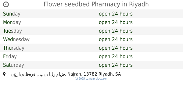
Flower seedbed Pharmacy
نجران، ظهرة لبن، الرياض Najran, Riyadh
Pharmacy
read more
857 m
Nahdi
3561 Asir Street, Riyadh
Pharmacy
read more
982 m
Pharmaceutical Research era Pharmacy
4619 Asir Street, Riyadh
Pharmacy
read more
992 m
Charisma Pharmacy
Najran, Riyadh
Pharmacy
read more
1.175 km
صيدلية بيت الصحة
2972 Asir Street, Riyadh
Pharmacy
read more
1.176 km
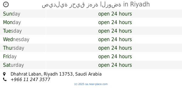
صيدلية رحيق زهرة الروضة
Riyadh
Pharmacy
read more
1.307 km
Nahdi
عسير، الرياض
Pharmacy
read more
1.317 km
صيدلية المجتمع
5060 Taif Street, Riyadh
Pharmacy
read more
1.389 km
صيدليه النهدي
Asir Street, Riyadh
Pharmacy
read more
1.408 km
Nahdi
4794 Al Shafa, Riyadh
Pharmacy
read more
1.636 km
Al-Dawaa
Al Shafa, Riyadh
Pharmacy
read more
1.649 km
Kunooz Pharmacy
3325 Al Shafa, Riyadh
Pharmacy
read more
1.663 km
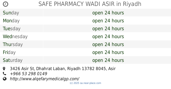
SAFE PHARMACY WADI ASIR
3426 Asir St, Dhahrat Laban, Riyadh 13782 8045 Asir Street, Riyadh
Pharmacy
read more
1.821 km
Nahdi
Taiba Street, Riyadh
Pharmacy
read more
1.868 km
Al-Dawaa
Taif, Riyadh
Pharmacy
read more
📑
all categories
Accounting
Administrative area level 1
Airport
Amusement park
Aquarium
Art gallery
Atm
Bakery
Bank
Bar
Beauty salon
Bicycle store
Book store
Bowling alley
Bus station
Cafe
Campground
Car dealer
Car rental
Car repair
Car wash
Casino
Cemetery
Church
City hall
Clothing store
Colloquial area
Convenience store
Country
Courthouse
Dentist
Department store
Doctor
Electrician
Electronics store
Embassy
Finance
Fire station
Florist
Food
Funeral home
Furniture store
Gas station
General contractor
Grocery or supermarket
Gym
Hair care
Hardware store
Health
Hindu Temple
Home goods store
Hospital
Insurance agency
Intersection
Jewelry store
Laundry
Lawyer
Library
Light rail station
Liquor store
Local government office
Locality
Locksmith
Lodging
Meal delivery
Meal takeaway
Mosque
Movie rental
Movie theater
Moving company
Museum
Natural feature
Neighborhood
Night club
Painter
Park
Parking
Pet store
Pharmacy
Physiotherapist
Place of worship
Plumber
Point of interest
Police
Political
Post office
Premise
Real estate agency
Restaurant
Roofing contractor
Route
Rv park, camping
School
Shoe store
Shopping mall
Spa
Stadium
Storage
Store
Sublocality
Subpremise
Subway station
Supermarket
Taxi stand
Train station
Transit station
Travel agency
University
Veterinary care
Zoo
sublocality level 1
↑