Pharmacy nearby صيدلية المجتمع المتطورة
Saudi Arabia
Pharmacy nearby صيدلية المجتمع المتطورة
صيدلية المجتمع المتطورة
Al-Hindaweyyah, Jeddah 22323, Saudi Arabia
contacts phone
:
+966
Latitude:
21.4709958
, Longitude:
39.1934027
larger map & directions
read more
nearest Pharmacy
15 m
صيدلية المجتمع المتطورة
King Khalid Road, Jeddah
Pharmacy
read more
174 m
صيدلية المتحدة
King Khalid Road, Jeddah
Pharmacy
read more
333 m
صيدلية العطاء الحديثة
الخيمة، جدة
Pharmacy
read more
473 m
صيدلية الشرق
Jeddah
Pharmacy
read more
552 m
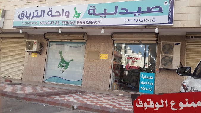
صيدلية واحة الترياق-3
7633-7707 الترقفي،, Jeddah
Pharmacy
read more
644 m
Nahdi Pharmacy
3120 ابو جعفر الناصري, Al Hindawiyah District, Jeddah
Pharmacy
read more
650 m
صيدلية الوصفة المتخصصة شارع الذهب (د/ غريب)
7313 ADH Dhahab, Al Hindawiyah District, Jeddah
Pharmacy
read more
706 m
Nahdi
Muhammad Mirah, Jeddah
Pharmacy
read more
709 m
شركة صيدلية النفيس الطبية
7226 الذهب، الهندواية جدة 22321
Pharmacy
read more
710 m
Nahdi
7963 التلفزيون, حي السبيل،, Jeddah
Pharmacy
read more
736 m
صيدلية الأجواد
3637 King Fahd Road, Jeddah
Pharmacy
read more
752 m
صيدليه الاجواد الهنداويه
3637 King Fahd Road, حي الهنداوية 8065, Jeddah
Pharmacy
read more
833 m
صيدلية الجمل
Jeddah
Pharmacy
read more
840 m
صيدلية الجمل
طريق الملك فهد، حي البلد، جدة
Pharmacy
read more
843 m
حي البلد
Jeddah
Pharmacy
read more
849 m
صيدلية نور الهدى
3069 Shajarat Al Arak, Jeddah
Pharmacy
read more
909 m
Nahdi Pharmacy
6274 الغر, حي البلد، 3947, Jeddah
Pharmacy
read more
917 m
صيدلية التوحيد
Unnamed Road, Jeddah
Pharmacy
read more
974 m
United Pharmacy
King Fahd Branch Road, Jeddah
Pharmacy
read more
985 m
صيدلية المتحدة
حي البلد، جدة
Pharmacy
read more
1.052 km
الراجحي
4562 الملك خالد، حي السبيل جدة 22325
Pharmacy
read more
1.06 km
Nahdi
At Tilfizyun Street, Jeddah
Pharmacy
read more
1.062 km
صيدلية الوصفة
6471 Muhammad Mirah, حي الثعالبة،, Jeddah
Pharmacy
read more
1.09 km
Brothers Pharmacy
حي السبيل، 8321 حي, Jeddah
Pharmacy
read more
1.116 km
صيدلية الزرقاء
شارع الاذاعة، حي القريات، جدة
Pharmacy
read more
📑
all categories
Accounting
Administrative area level 1
Airport
Amusement park
Aquarium
Art gallery
Atm
Bakery
Bank
Bar
Beauty salon
Bicycle store
Book store
Bowling alley
Bus station
Cafe
Campground
Car dealer
Car rental
Car repair
Car wash
Casino
Cemetery
Church
City hall
Clothing store
Colloquial area
Convenience store
Country
Courthouse
Dentist
Department store
Doctor
Electrician
Electronics store
Embassy
Finance
Fire station
Florist
Food
Funeral home
Furniture store
Gas station
General contractor
Grocery or supermarket
Gym
Hair care
Hardware store
Health
Hindu Temple
Home goods store
Hospital
Insurance agency
Intersection
Jewelry store
Laundry
Lawyer
Library
Light rail station
Liquor store
Local government office
Locality
Locksmith
Lodging
Meal delivery
Meal takeaway
Mosque
Movie rental
Movie theater
Moving company
Museum
Natural feature
Neighborhood
Night club
Painter
Park
Parking
Pet store
Pharmacy
Physiotherapist
Place of worship
Plumber
Point of interest
Police
Political
Post office
Premise
Real estate agency
Restaurant
Roofing contractor
Route
Rv park, camping
School
Shoe store
Shopping mall
Spa
Stadium
Storage
Store
Sublocality
Subpremise
Subway station
Supermarket
Taxi stand
Train station
Transit station
Travel agency
University
Veterinary care
Zoo
sublocality level 1
↑