Pharmacy nearby صيدلية قريش
Saudi Arabia
Pharmacy nearby صيدلية قريش
صيدلية قريش
الرصيفة،، مكة 24232, Saudi Arabia
contacts phone
:
+966
Latitude:
21.410129
, Longitude:
39.7831072
larger map & directions
read more
nearest Pharmacy
64 m
صيدلية قريش
2395 Ash Shajaah, Mecca
Pharmacy
read more
68 m
مكتب ادارة صيدليات النهدي
24232 7789 Al Basalah, Mecca
Pharmacy
read more
87 m
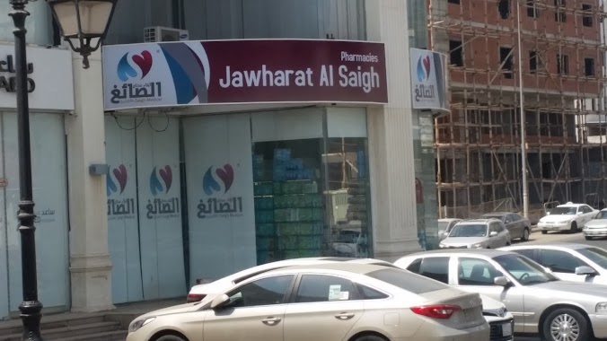
صيدليات جوهرة الصائغ
2376 البسالة، الرصيفة مكة 24232 7789 Al Basalah, Mecca
Pharmacy
read more
126 m
Nahdi
2419, 7604, Mecca
Pharmacy
read more
126 m
النهدي
2419, 7604, Mecca
Pharmacy
read more
146 m
النهدي
7449 3rd Ring Road, Mecca
Pharmacy
read more
146 m
صدلية النهدي
7449 3rd Ring Road, Mecca
Pharmacy
read more
752 m
عطارة الفرحان
7791, 7999, شارع عبدالله عريف،, Mecca
Pharmacy
read more
758 m
الفرحان للعطاره
مكة
Pharmacy
read more
790 m
صيدلية الرحمة
7999 الرصيفة، مكة 24232 3080 Al Rasaifah, Mecca
Pharmacy
read more
880 m
صيدليه جوهره الصائغ 6
3252 Prince Nasser Bin Masoud Street, Mecca
Pharmacy
read more
1.018 km
النهدي
مكة
Pharmacy
read more
1.029 km
صيدلية غاية الاسكان
Mecca
Pharmacy
read more
1.054 km
صيدلية أسماء
الطريق الدائري الثالث، الخالدية، مكة
Pharmacy
read more
1.069 km
Nahdi Pharmacy
3411 Prince Nasser Bin Masoud Street, Mecca
Pharmacy
read more
1.341 km
Hasan Bakhsh Pharmacy
8379 Al Basirah, 8399, Mecca
Pharmacy
read more
1.414 km
Khalidiya Pharmacy
Mecca
Pharmacy
read more
1.424 km
النهدي
3531 الشيخ حسن المشاط، الخالدية،, Mecca
Pharmacy
read more
1.476 km
Makkah Al Khaldyah Pharmacy
Ash Shaikh Hasan Al Mushat Road, Al Khalidiyyah 1، مكة
Pharmacy
read more
1.476 km
Al Khaldyah Pharmacy
Ash Shaikh Hasan Al Mushat, Mecca
Pharmacy
read more
1.483 km
صيدلية مكة الخالدية الطبية
الشيخ حسن مشاط، مكة
Pharmacy
read more
1.52 km
صيدلية دليل الشفاء
سوق الحجاز، طريق مكة جدة السريع، مكة
Pharmacy
read more
1.584 km
Nahdi Pharmacy
الإسكان، الملك فهد،, Mecca
Pharmacy
read more
1.584 km
النهدي
الإسكان، الملك فهد،, Mecca
Pharmacy
read more
1.639 km
صيدلية العمودي
شارع الشيخ حسن المشاط ، الخالدية، مكة
Pharmacy
read more
📑
all categories
Accounting
Administrative area level 1
Airport
Amusement park
Aquarium
Art gallery
Atm
Bakery
Bank
Bar
Beauty salon
Bicycle store
Book store
Bowling alley
Bus station
Cafe
Campground
Car dealer
Car rental
Car repair
Car wash
Casino
Cemetery
Church
City hall
Clothing store
Colloquial area
Convenience store
Country
Courthouse
Dentist
Department store
Doctor
Electrician
Electronics store
Embassy
Finance
Fire station
Florist
Food
Funeral home
Furniture store
Gas station
General contractor
Grocery or supermarket
Gym
Hair care
Hardware store
Health
Hindu Temple
Home goods store
Hospital
Insurance agency
Intersection
Jewelry store
Laundry
Lawyer
Library
Light rail station
Liquor store
Local government office
Locality
Locksmith
Lodging
Meal delivery
Meal takeaway
Mosque
Movie rental
Movie theater
Moving company
Museum
Natural feature
Neighborhood
Night club
Painter
Park
Parking
Pet store
Pharmacy
Physiotherapist
Place of worship
Plumber
Point of interest
Police
Political
Post office
Premise
Real estate agency
Restaurant
Roofing contractor
Route
Rv park, camping
School
Shoe store
Shopping mall
Spa
Stadium
Storage
Store
Sublocality
Subpremise
Subway station
Supermarket
Taxi stand
Train station
Transit station
Travel agency
University
Veterinary care
Zoo
sublocality level 1
↑