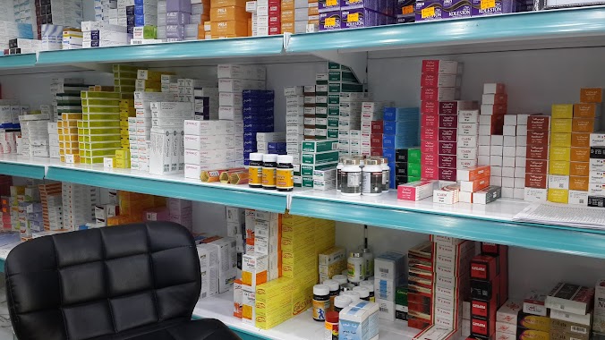
Pharmacy nearby صيدلية شهد
Saudi Arabia
Pharmacy nearby صيدلية شهد
صيدلية شهد
Al Khansa, Mecca 24238, Saudi Arabia
contacts phone
:
+966 12 572 2280
Latitude:
21.4501254
, Longitude:
39.8455966
larger map & directions
read more
nearest Pharmacy
283 m
صيدلية ريم
Unnamed Road, Mecca
Pharmacy
read more
351 m
صيدلية باوزير
Mecca
Pharmacy
read more
358 m
صيدلية سالم باوزير
شارع الخنساء، حي المعابدة، مكة
Pharmacy
read more
483 m
Albadr Pharmacy
7784 Al Khansa, Mecca
Pharmacy
read more
488 m
Ghaya Pharmacy
بجوار البنك الاهلي, Mecca
Pharmacy
read more
499 m
Nora Pharmacy
Mecca
Pharmacy
read more
563 m
Bawazir Pharmacy
6742 الخنساء مكة 24238 3142 Al Khansa, Mecca
Pharmacy
read more
772 m
Nahdi
8040-8058 Ray Zakhir, Mecca
Pharmacy
read more
814 m
صيدلية المتحدة
Al Khansa, Mecca
Pharmacy
read more
866 m
Himdi Pharmacy
Al Hajj, Mecca
Pharmacy
read more
969 m
صيدلية العناية الحديثة
6883 Ray Zakhir, Rei'a Thakhir, Mecca 24238 2181 Ray Zakhir, Mecca
Pharmacy
read more
1.047 km
صيدلية باوزير
Al Abtah, Mecca
Pharmacy
read more
1.184 km
صيدليه الوصفه العلاجيه
3516, 8375, Mecca
Pharmacy
read more
1.267 km
صيدلية دواء الحجاز
4223 حسين سرحان،, 6838, Mecca
Pharmacy
read more
1.301 km
صيدلية مجمع الدواء
Mecca
Pharmacy
read more
1.413 km
Nahdi Pharmacy
3221 Al Malawi, Mecca
Pharmacy
read more
1.443 km
صيدلية بلادي 2
شارع حسين سرحان، جبل النور، مكة
Pharmacy
read more
1.468 km
صيدلية النهدي
طريق الملك فيصل,خلف أسواق النورى، جبل النور، مكة
Pharmacy
read more
1.529 km
Nahdi Pharmacy
Ghar Hira Trail, Mecca
Pharmacy
read more
1.596 km
صيدلية ريم الدواء
جبل النور، مكة
Pharmacy
read more
1.639 km
Ammar Pharmacy
2580, Mecca
Pharmacy
read more
1.647 km
صيدلية مؤسسة عمار
شارع العدل، طريق الملك فيصل، مكة
Pharmacy
read more
1.696 km
Nahdi Pharmacy
8995 طريق السيل, Mecca
Pharmacy
read more
1.702 km
مدرسة السادسة وستون في العسيلة
Mecca
Pharmacy
read more
1.703 km
صيدلية نبض الصفاء
Mecca
Pharmacy
read more
📑
all categories
Accounting
Administrative area level 1
Airport
Amusement park
Aquarium
Art gallery
Atm
Bakery
Bank
Bar
Beauty salon
Bicycle store
Book store
Bowling alley
Bus station
Cafe
Campground
Car dealer
Car rental
Car repair
Car wash
Casino
Cemetery
Church
City hall
Clothing store
Colloquial area
Convenience store
Country
Courthouse
Dentist
Department store
Doctor
Electrician
Electronics store
Embassy
Finance
Fire station
Florist
Food
Funeral home
Furniture store
Gas station
General contractor
Grocery or supermarket
Gym
Hair care
Hardware store
Health
Hindu Temple
Home goods store
Hospital
Insurance agency
Intersection
Jewelry store
Laundry
Lawyer
Library
Light rail station
Liquor store
Local government office
Locality
Locksmith
Lodging
Meal delivery
Meal takeaway
Mosque
Movie rental
Movie theater
Moving company
Museum
Natural feature
Neighborhood
Night club
Painter
Park
Parking
Pet store
Pharmacy
Physiotherapist
Place of worship
Plumber
Point of interest
Police
Political
Post office
Premise
Real estate agency
Restaurant
Roofing contractor
Route
Rv park, camping
School
Shoe store
Shopping mall
Spa
Stadium
Storage
Store
Sublocality
Subpremise
Subway station
Supermarket
Taxi stand
Train station
Transit station
Travel agency
University
Veterinary care
Zoo
sublocality level 1
↑