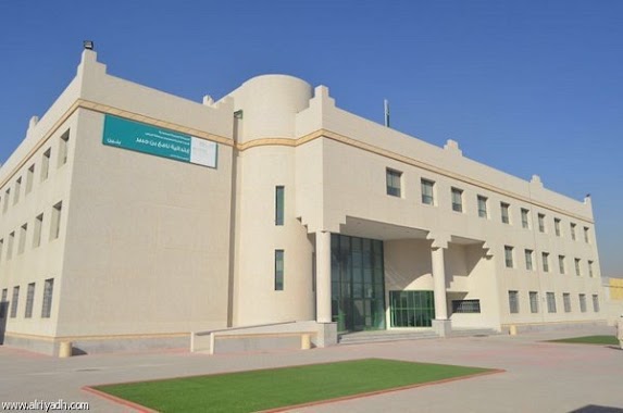
School nearby المعهد
Saudi Arabia
School nearby المعهد
المعهد
7117 الصحابة، اليرموك الرياض 13251 Saudi Arabien
contacts phone
:
+966
Latitude:
24.8089983
, Longitude:
46.7796547
read more
nearest School
8 m
معهد خبراء التطوير النسائي
7117 الصحابة, Riyadh
School
read more
117 m
مدرسه التنوير الأهليه للبنات
4122 Abi Jafar Al Mansur, Riyadh
School
read more
406 m
الابتدائية 21 للبنات
الرياض
School
read more
544 m
مدارس شروق المعرفة الاهلية
المساور, اليرموك، الرياض
School
read more
544 m
مدارس شروق المعرفة الاهلية
Al Masawir, Riyadh
School
read more
550 m
دار الماهرات
2683 Wuthaylan, Riyadh
School
read more
587 m
Sherouk al maarefah international school
Abi Jafar Al Mansur Abi Jafar Al Mansur, Riyadh
School
read more
588 m
مدارس شروق المعرفة الأهلية - بنات
Abi Jafar Al Mansur, Riyadh
School
read more
588 m
مدارس شروق المعرفة الأهلية - بنات
3761 Abi Jafar Al Mansur, 7605, Riyadh
School
read more
647 m
المدرسة الكورية
3833 Muhammad Ali Junah, Riyadh
School
read more
649 m
Korean international school
3833 Muhammad Ali Junah, Riyadh
School
read more
670 m
مدرسة حاملات المسك النسائية
طريق الصحابة،, Riyadh
School
read more
672 m
مدرسة جوجو
Riyadh
School
read more
702 m
HRP Training Centre
6489 الصحابة, Riyadh
School
read more
774 m
21 primary school
An Nabaqin, Riyadh
School
read more
791 m
مدرسة الفضيل بن عياض الابتدائية
7860 مراكشى،, 2676, Riyadh
School
read more
868 m
مدرسة مافع
Riyadh
School
read more
873 m
Nafi Bin Jubair Elementary School
Sumayra, Riyadh
School
read more
918 m
Fun house nursery
Exit 9, 8, Riyadh
School
read more
936 m
Abdullah Ibn Jafar Secondary School
3319 An Nadwah, 6976, Riyadh
School
read more
936 m
Abdullah bin Jaafar School
3319 An Nadwah, 6976, Riyadh
School
read more
937 m
عمرو بن دينار المتوسطة
Al Mayman, Riyadh
School
read more
937 m
بيت ابو صالح حمد المحيميد
3285 الميمن، اليرموك، الرياض 13251
School
read more
953 m
مدرسة الأمير أبو عبد الرحمن جوباس
3405 Dammam Branch Road, Riyadh
School
read more
976 m
مدارس المنر الاهليه للبنات
Al Malisan, Riyadh
School
read more
📑
all categories
Accounting
Administrative area level 1
Airport
Amusement park
Aquarium
Art gallery
Atm
Bakery
Bank
Bar
Beauty salon
Bicycle store
Book store
Bowling alley
Bus station
Cafe
Campground
Car dealer
Car rental
Car repair
Car wash
Casino
Cemetery
Church
City hall
Clothing store
Colloquial area
Convenience store
Country
Courthouse
Dentist
Department store
Doctor
Electrician
Electronics store
Embassy
Finance
Fire station
Florist
Food
Funeral home
Furniture store
Gas station
General contractor
Grocery or supermarket
Gym
Hair care
Hardware store
Health
Hindu Temple
Home goods store
Hospital
Insurance agency
Intersection
Jewelry store
Laundry
Lawyer
Library
Light rail station
Liquor store
Local government office
Locality
Locksmith
Lodging
Meal delivery
Meal takeaway
Mosque
Movie rental
Movie theater
Moving company
Museum
Natural feature
Neighborhood
Night club
Painter
Park
Parking
Pet store
Pharmacy
Physiotherapist
Place of worship
Plumber
Point of interest
Police
Political
Post office
Premise
Real estate agency
Restaurant
Roofing contractor
Route
Rv park, camping
School
Shoe store
Shopping mall
Spa
Stadium
Storage
Store
Sublocality
Subpremise
Subway station
Supermarket
Taxi stand
Train station
Transit station
Travel agency
University
Veterinary care
Zoo
sublocality level 1
↑