School nearby C36- Girls 3 School
Saudi Arabia
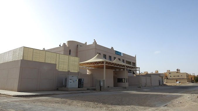
School nearby C36- Girls 3 School
C36- Girls 3 School
4343, المنصورية, 13787, Riyadh, SA Saudi Arabia
contacts phone
:
+966
Latitude:
24.6248144
, Longitude:
46.5225724
larger map & directions
read more
nearest School
168 m
Complex schools
4301 المنصورية, Riyadh
School
read more
290 m
مسجد الشيخ ابن باز رحمه الله تسمية وزارة الشئؤن الاسلاميه
Riyadh
School
read more
394 m
ثانوية اليعقوبي الحكومية
4719 النبراس, Riyadh
School
read more
410 m
مدرسة اليعقوبي الثانوية بنين
4751 النبراس, Riyadh
School
read more
414 m
مدرسة اليعقوبي
8511 المنور, Riyadh
School
read more
431 m
مدرسة اليعقوبي الثانوية
4772 النبراس, Riyadh
School
read more
467 m
دار حصة الثاقب لتحفيظ القرآن وعلومه
8639 المنور, Riyadh
School
read more
704 m
ابتدائية عقبة بن عمرو
4622 المضايا, Riyadh
School
read more
739 m
Ka'ab Al Ahbar Intermediate School For Boys
4580 المضايا, Riyadh
School
read more
740 m
متوسطة كعب الأحبار
4580 المضايا, Riyadh
School
read more
795 m
Medium Souad Muslim girl Girls
5075 المعمورة, Riyadh
School
read more
872 m
مدرسة بنات ابتدائيه
Riyadh
School
read more
1.128 km
مدرسة صفية ينت شيبة ينات الابتدأيه
Riyadh
School
read more
1.164 km
مدرسة إبتدائية للبنات-S69
24°36'53.0"N 46°31'10.3"E
School
read more
1.17 km
مدرسة صفية بنت شيبه للبنات
المجد،, Riyadh
School
read more
1.293 km
مدارس القادة الأهلية للبنين
Dhahrat Laban
School
read more
1.293 km
مدارس القادة الأهلية للبنين
Riyadh
School
read more
1.298 km
Alqada Schools
Asir Street, Riyadh
School
read more
1.331 km
Pioneers Academy Group
3410, Riyadh
School
read more
1.368 km
مدارس آفاق التعلم الأهلية للبنين - قسم الابتدائي
Riyadh
School
read more
1.397 km
مدرسة عطاء بن يسار المتوسطة
2820 الناعمة, 7732, Riyadh
School
read more
1.399 km
مدرسة بشر بن الوليد الابتدائية
Riyadh
School
read more
1.399 km
ابتدائية 423
3269 العمارية, Riyadh
School
read more
1.401 km
Primary School 423
7702 الناقورة, Riyadh
School
read more
1.421 km
متوسطة الرباب بنت البراء
ظهرة لبن،, Riyadh
School
read more
📑
all categories
Accounting
Administrative area level 1
Airport
Amusement park
Aquarium
Art gallery
Atm
Bakery
Bank
Bar
Beauty salon
Bicycle store
Book store
Bowling alley
Bus station
Cafe
Campground
Car dealer
Car rental
Car repair
Car wash
Casino
Cemetery
Church
City hall
Clothing store
Colloquial area
Convenience store
Country
Courthouse
Dentist
Department store
Doctor
Electrician
Electronics store
Embassy
Finance
Fire station
Florist
Food
Funeral home
Furniture store
Gas station
General contractor
Grocery or supermarket
Gym
Hair care
Hardware store
Health
Hindu Temple
Home goods store
Hospital
Insurance agency
Intersection
Jewelry store
Laundry
Lawyer
Library
Light rail station
Liquor store
Local government office
Locality
Locksmith
Lodging
Meal delivery
Meal takeaway
Mosque
Movie rental
Movie theater
Moving company
Museum
Natural feature
Neighborhood
Night club
Painter
Park
Parking
Pet store
Pharmacy
Physiotherapist
Place of worship
Plumber
Point of interest
Police
Political
Post office
Premise
Real estate agency
Restaurant
Roofing contractor
Route
Rv park, camping
School
Shoe store
Shopping mall
Spa
Stadium
Storage
Store
Sublocality
Subpremise
Subway station
Supermarket
Taxi stand
Train station
Transit station
Travel agency
University
Veterinary care
Zoo
sublocality level 1
↑