School nearby Completion Private Schools
Saudi Arabia
School nearby Completion Private Schools
Completion Private Schools
Kuday Ajyad Tunnels, 24234, Makkah, SA Arabia Saudita
contacts phone
:
+966 12 533 7995
website:
www.elinjaz.com
Latitude:
21.4113489
, Longitude:
39.8394726
larger map & directions
read more
nearest School
938 m
مدرسة سلطانية ناصر العلوم الخيرية
Ajyad Street, Mecca
School
read more
1.001 km
Abdul Rahman Ibn Auf elementary and middle school
Second Ring Road, Mecca
School
read more
1.052 km
School House Elementary Science Boys
8444, Mecca
School
read more
1.072 km
Secondary NAHRAWAN
8444, Mecca
School
read more
1.073 km
NAHRAWAN Secondary School For Boys
Mecca
School
read more
1.287 km
35 Girls Intermediate School
Ajyad Street, Mecca
School
read more
1.369 km
برج التيسير رقم 3
9265, Mecca
School
read more
1.442 km
Elementary School 120
9038, Mecca
School
read more
1.471 km
Pesantren Embun Makkah
4480, Mecca
School
read more
1.588 km
مدرسة سندس بنت خويلد الابتدائية للبنات للجاليات مسائي
8452 Al Misfalah, Mecca
School
read more
1.657 km
روضة اقرا .مكه
9228 طريق الطائف، العزيزية، مكة 24235
School
read more
1.824 km
مدرسة الأربعون الابتدائية بمكة
خلف بلدية المسفلة، المسفلة، مكة
School
read more
1.824 km
متوسطة درة بنت ابي سلمى
Mecca
School
read more
1.824 km
مدرسة السابعة
Mecca
School
read more
1.824 km
Om Kalthoum School Camouflage
Mecca
School
read more
1.849 km
مدرسة الثانوية الخمسون
2462 Al Ithar, Mecca
School
read more
1.887 km
مدرسة ام عمارة الابتدائية للبنات
Mecca
School
read more
1.889 km
Kids Club
Mecca
School
read more
1.896 km
ام عمارة الابتدائية
Mecca
School
read more
1.9 km
Alam madarsa
2462 Al Ithar, Mecca
School
read more
1.903 km
الثانوية الثانية (نظام مقرارات)
2527 Al Ithar, Mecca
School
read more
1.907 km
حضانه طلائع المستقبل
8553 Al Husna, Mecca
School
read more
1.908 km
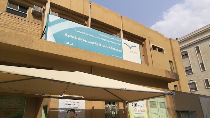
المدرسة التاسعة والخمسون الإبتدائية
Mecca
School
read more
1.919 km
المدرسة 59 بنات
2620 Al Farah, Mecca
School
read more
1.92 km
Aisha girl Amir Primary School
3752, Mecca
School
read more
📑
all categories
Accounting
Administrative area level 1
Airport
Amusement park
Aquarium
Art gallery
Atm
Bakery
Bank
Bar
Beauty salon
Bicycle store
Book store
Bowling alley
Bus station
Cafe
Campground
Car dealer
Car rental
Car repair
Car wash
Casino
Cemetery
Church
City hall
Clothing store
Colloquial area
Convenience store
Country
Courthouse
Dentist
Department store
Doctor
Electrician
Electronics store
Embassy
Finance
Fire station
Florist
Food
Funeral home
Furniture store
Gas station
General contractor
Grocery or supermarket
Gym
Hair care
Hardware store
Health
Hindu Temple
Home goods store
Hospital
Insurance agency
Intersection
Jewelry store
Laundry
Lawyer
Library
Light rail station
Liquor store
Local government office
Locality
Locksmith
Lodging
Meal delivery
Meal takeaway
Mosque
Movie rental
Movie theater
Moving company
Museum
Natural feature
Neighborhood
Night club
Painter
Park
Parking
Pet store
Pharmacy
Physiotherapist
Place of worship
Plumber
Point of interest
Police
Political
Post office
Premise
Real estate agency
Restaurant
Roofing contractor
Route
Rv park, camping
School
Shoe store
Shopping mall
Spa
Stadium
Storage
Store
Sublocality
Subpremise
Subway station
Supermarket
Taxi stand
Train station
Transit station
Travel agency
University
Veterinary care
Zoo
sublocality level 1
↑