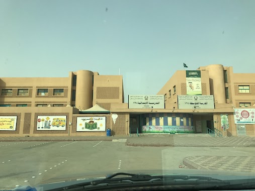
School nearby مدرسة نور الهداية النسائيه
Saudi Arabia
School nearby مدرسة نور الهداية النسائيه
مدرسة نور الهداية النسائيه
6838, الخبر, 13252, Riyadh, SA Saudi Arabia
contacts phone
:
+966 55 633 5738
Latitude:
24.8140802
, Longitude:
46.8015727
larger map & directions
read more
nearest School
439 m
مدرسة اجيال الدلال
6417 الوسط, Riyadh
School
read more
553 m
متوسطة سارة بنت عبدالعزيز
Riyadh
School
read more
620 m
مدرسة الفضيل بن عياض
Riyadh
School
read more
712 m
متوسطة مسلم بن بسار
7005, Riyadh
School
read more
734 m
مسجد المرزوق
4325 النصر،, 7023, Riyadh
School
read more
781 m
مدرسة أبني ألأهلية روضة
7373 Al Hufuf, Riyadh
School
read more
785 m
مدارس إبني الأهلية (تمهيدي - روضة)
7373 Al Hufuf, Riyadh
School
read more
845 m
مدرسة خالد بن زيد الابتدائية بالرياض
3667, 6790, Riyadh
School
read more
861 m
Adwaa Alriyadh Schools
Ashaikh Jaber Alahmed Alsabah, Riyadh
School
read more
866 m
متوسطة مسلم بن يسار
3687, Riyadh
School
read more
867 m
هائل المصلوخي
8868, Riyadh
School
read more
892 m
حضانة ميمو
7078 Al Hufuf, Riyadh
School
read more
892 m
نيو حضانه ميمو
7078 Al Hufuf, Riyadh
School
read more
897 m
Elementary Khalid bin Zaid
3687, Riyadh
School
read more
903 m
مدرسة مسلم بن يسار المتوسطة
3687, 6890, Riyadh
School
read more
940 m
مدرسة ثانوي بنين
Al Baqirah, Riyadh
School
read more
975 m
مدارس حكومية جديدة
Riyadh
School
read more
993 m
الثانوية ١٣١ -131
6995 Al Hudaif, Riyadh
School
read more
1.012 km
المدرسة الثانوية 131 بنات ١٣١
6995 Al Hudaif Al Yarmuk Riyadh 13251 3974 Al Hudaif, Riyadh
School
read more
1.016 km
دار ازهار البيان
3777, Riyadh
School
read more
1.018 km
مجمع مدارس اليرموك للبنات
Al Nuwaibiah, Riyadh
School
read more
1.026 km
الابتدائية ٣٩٤ بنات
3879 An Nuwaibiah, Riyadh
School
read more
1.052 km
المدرسة الابتدائية 394 للبنات باليرموك
3879 An Nuwaibiah, Riyadh
School
read more
1.055 km
المدرسة المتوسطة 164 للبنات باليرموك
3879 An Nuwaibiah, Riyadh
School
read more
1.064 km
Darul Yurmook Nisae
6797 An Nauwaibi, 4010, Riyadh
School
read more
📑
all categories
Accounting
Administrative area level 1
Airport
Amusement park
Aquarium
Art gallery
Atm
Bakery
Bank
Bar
Beauty salon
Bicycle store
Book store
Bowling alley
Bus station
Cafe
Campground
Car dealer
Car rental
Car repair
Car wash
Casino
Cemetery
Church
City hall
Clothing store
Colloquial area
Convenience store
Country
Courthouse
Dentist
Department store
Doctor
Electrician
Electronics store
Embassy
Finance
Fire station
Florist
Food
Funeral home
Furniture store
Gas station
General contractor
Grocery or supermarket
Gym
Hair care
Hardware store
Health
Hindu Temple
Home goods store
Hospital
Insurance agency
Intersection
Jewelry store
Laundry
Lawyer
Library
Light rail station
Liquor store
Local government office
Locality
Locksmith
Lodging
Meal delivery
Meal takeaway
Mosque
Movie rental
Movie theater
Moving company
Museum
Natural feature
Neighborhood
Night club
Painter
Park
Parking
Pet store
Pharmacy
Physiotherapist
Place of worship
Plumber
Point of interest
Police
Political
Post office
Premise
Real estate agency
Restaurant
Roofing contractor
Route
Rv park, camping
School
Shoe store
Shopping mall
Spa
Stadium
Storage
Store
Sublocality
Subpremise
Subway station
Supermarket
Taxi stand
Train station
Transit station
Travel agency
University
Veterinary care
Zoo
sublocality level 1
↑