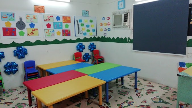
School nearby مدرسة ثابت بن قيس الابتدائية
Saudi Arabia
School nearby مدرسة ثابت بن قيس الابتدائية
مدرسة ثابت بن قيس الابتدائية
Al Fadeylah, Jeddah 22543, Saudi Arabia
contacts phone
:
+966
Latitude:
21.3130268
, Longitude:
39.2640504
larger map & directions
read more
nearest School
16 m
مدارس الفضيلة بنين
Jeddah
School
read more
307 m
البيت
Jeddah
School
read more
317 m
دار الفضيله
Jeddah
School
read more
794 m
مجمع مدارس البنات
Jeddah
School
read more
804 m
مجمع مدارس البنات بالفضيلة
Jeddah
School
read more
817 m
مدارس الفضيلة للبنات
Jeddah
School
read more
1.411 km
124 elementary school girls
4669, حي القرينية،, Jeddah
School
read more
1.411 km
124 elementary school girls
حي القرينية غرب جامع ابن العود،, Jeddah
School
read more
1.441 km
المتوسطة الحاديه عشر بعد المئة
Jeddah
School
read more
1.596 km
المتوسطة الحادي عشر بعد المئه للبنات
4275, حي القرينية، 7434, Jeddah
School
read more
1.641 km
عمارة الشهري
Jeddah
School
read more
1.67 km
مركزحي تمكين بحي القرينية(أم حبيبة ضي الله عنها)
القرينية، الخمرة
School
read more
1.767 km
الابتدائية المائة والخامسه والعشرون
Jeddah
School
read more
1.768 km
المدرسة المتوسطة الثانية والعشرون بعد المائة
Jeddah
School
read more
1.806 km
المدرسة الخامسة والعشرون بعد المائة الإبتدائية 125 الابتدائية
Jeddah
School
read more
1.814 km
مدرسة الخامسة والعشرون بعد المائه الأبتدائيه - بنات
Jeddah
School
read more
2.082 km
Highbury Burton College
طريق الملك, Bahrah، جدة
School
read more
2.286 km
مدرسة سراقة بن مالك الإبتدائية
3584, حي القرينية, Jeddah
School
read more
2.48 km
دار أم حبيبة
Jeddah
School
read more
2.492 km
Abbad ibn Bishr High School
Jeddah
School
read more
2.501 km
Waaqidi Elementary School
Jeddah
School
read more
2.556 km
مربط العويد للخيول العربية الاصيلة
Jeddah
School
read more
2.633 km
مربط العالمية للخيول العربية الاصيلة
Jeddah
School
read more
3.009 km
Abc Intl.
2750, Al Qryniah District, Jeddah
School
read more
3.248 km
مسجد عبدالله بن منور الجدعاني
Jeddah
School
read more
📑
all categories
Accounting
Administrative area level 1
Airport
Amusement park
Aquarium
Art gallery
Atm
Bakery
Bank
Bar
Beauty salon
Bicycle store
Book store
Bowling alley
Bus station
Cafe
Campground
Car dealer
Car rental
Car repair
Car wash
Casino
Cemetery
Church
City hall
Clothing store
Colloquial area
Convenience store
Country
Courthouse
Dentist
Department store
Doctor
Electrician
Electronics store
Embassy
Finance
Fire station
Florist
Food
Funeral home
Furniture store
Gas station
General contractor
Grocery or supermarket
Gym
Hair care
Hardware store
Health
Hindu Temple
Home goods store
Hospital
Insurance agency
Intersection
Jewelry store
Laundry
Lawyer
Library
Light rail station
Liquor store
Local government office
Locality
Locksmith
Lodging
Meal delivery
Meal takeaway
Mosque
Movie rental
Movie theater
Moving company
Museum
Natural feature
Neighborhood
Night club
Painter
Park
Parking
Pet store
Pharmacy
Physiotherapist
Place of worship
Plumber
Point of interest
Police
Political
Post office
Premise
Real estate agency
Restaurant
Roofing contractor
Route
Rv park, camping
School
Shoe store
Shopping mall
Spa
Stadium
Storage
Store
Sublocality
Subpremise
Subway station
Supermarket
Taxi stand
Train station
Transit station
Travel agency
University
Veterinary care
Zoo
sublocality level 1
↑