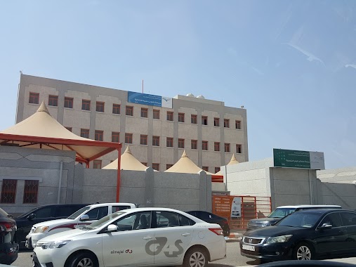
School nearby مركز التدريب الثاني للبنات
Saudi Arabia
School nearby مركز التدريب الثاني للبنات
مركز التدريب الثاني للبنات
Prince Abdulmajeed, Jeddah 23816, Saudi Arabia
contacts phone
:
+966 50 277 7414
Latitude:
21.7749487
, Longitude:
39.0924561
larger map & directions
read more
nearest School
495 m
فصولي
Unnamed Road, Jeddah
School
read more
514 m
ابهر
Unnamed Road, Jeddah
School
read more
578 m
Ms. Bea
Obhur, Jeddah
School
read more
651 m
مدرسة دار الحافظات العشرون
Jeddah
School
read more
661 m
Salamah bin Qais intermediate school
2824, حي الشراع،, Jeddah
School
read more
662 m
Salamah bin Qais Intermediate School
4278, حي الشراع،, Jeddah
School
read more
677 m
مجمع مدارس البنين بأبحر الشمالية
جدة
School
read more
689 m
ثانوية محمد بن القاسم
جدة
School
read more
703 m
مدرسة اولاد حكومي
Jeddah
School
read more
975 m
دار العمدة
Jeddah
School
read more
1.159 km
Rowad Al Khaleej Abhor International School
Jeddah
School
read more
1.159 km
Rowad AlKhaleej International School Jeddah
Jeddah
School
read more
1.194 km
مدارس رواد الخليج العالمية
Prince Naif Road, Jeddah
School
read more
1.215 km
Kaleej School
Jeddah
School
read more
1.234 km
School preeminence success
7301, حي الياقوت،, Jeddah
School
read more
1.317 km
Alnahadah International Advanced School
4059, Ash Sheraa District, Jeddah
School
read more
1.719 km
متوسطة سلمة ابن قيس للبنين
4278, حي الشراع, Jeddah
School
read more
1.754 km
Rafi Bin Omayrah Primary school
[email protected]
, Jeddah
School
read more
2.162 km
مركز الاحياء ابحر
2899, Abhur Ash Shamaliyah District 8424, Jeddah
School
read more
2.165 km
روضة اطفال الياسمين
3230, Al Yaqoot District, Jeddah
School
read more
2.239 km
مدرسه 129 ابحر
3497, حي ابحر الشمالية،, Jeddah
School
read more
2.671 km
Waad Academy School
Jeddah
School
read more
2.84 km
مركز سند الأم
حي ابحر الشمالية، جدة
School
read more
2.85 km
Sanadcenter
Unnamed Road, أبحر الشمالية،, Jeddah
School
read more
2.911 km
المدرسة الحادية عشر بعد المائة الثانوية
7653, Abhur Ash Shamaliyah District, Jeddah
School
read more
📑
all categories
Accounting
Administrative area level 1
Airport
Amusement park
Aquarium
Art gallery
Atm
Bakery
Bank
Bar
Beauty salon
Bicycle store
Book store
Bowling alley
Bus station
Cafe
Campground
Car dealer
Car rental
Car repair
Car wash
Casino
Cemetery
Church
City hall
Clothing store
Colloquial area
Convenience store
Country
Courthouse
Dentist
Department store
Doctor
Electrician
Electronics store
Embassy
Finance
Fire station
Florist
Food
Funeral home
Furniture store
Gas station
General contractor
Grocery or supermarket
Gym
Hair care
Hardware store
Health
Hindu Temple
Home goods store
Hospital
Insurance agency
Intersection
Jewelry store
Laundry
Lawyer
Library
Light rail station
Liquor store
Local government office
Locality
Locksmith
Lodging
Meal delivery
Meal takeaway
Mosque
Movie rental
Movie theater
Moving company
Museum
Natural feature
Neighborhood
Night club
Painter
Park
Parking
Pet store
Pharmacy
Physiotherapist
Place of worship
Plumber
Point of interest
Police
Political
Post office
Premise
Real estate agency
Restaurant
Roofing contractor
Route
Rv park, camping
School
Shoe store
Shopping mall
Spa
Stadium
Storage
Store
Sublocality
Subpremise
Subway station
Supermarket
Taxi stand
Train station
Transit station
Travel agency
University
Veterinary care
Zoo
sublocality level 1
↑