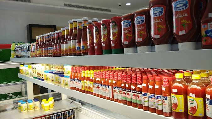
Supermarket nearby الدكان
Saudi Arabia
Supermarket nearby الدكان
الدكان
شارع المزرعة، مقابل مقهى دانة، حي الحمدانية، جدة Arabia Saudyjska
contacts phone
:
+966
Latitude:
21.7610174
, Longitude:
39.1958924
read more
nearest Supermarket
201 m
Palm plantations
3784, حي الحمدانية, Jeddah
Supermarket
read more
325 m
Al Eman
Unnamed Road, Jeddah
Supermarket
read more
627 m
Hyper Panda
شارع الحمدانية، الحمدانية، جدة
Supermarket
read more
686 m
Super Stores
5, Jeddah
Supermarket
read more
788 m
Baisheh Supermarket
4609, حي الحمدانية, Jeddah
Supermarket
read more
797 m
Al Bshyyah Supermarket
4609, حي الحمدانية، 7594, Jeddah
Supermarket
read more
929 m
Nahda Hyper Market
3455, Al Hamadaniyah District, Jeddah
Supermarket
read more
956 m
Hyper Bshyyah
8311, Al Hamadaniyah District, Jeddah
Supermarket
read more
1.094 km
Farm markets
Jeddah
Supermarket
read more
1.094 km
Farm Superstores 41
Jeddah
Supermarket
read more
1.173 km
دكان زمان
الحمدانية، جدة
Supermarket
read more
1.179 km
Dukan Hamdaniya 4
8416, Al Hamadaniyah District,, Jeddah
Supermarket
read more
1.205 km
Pandati
8049, حي الصالحية, Jeddah
Supermarket
read more
1.219 km
Al DUKAN
حي الحمدانية، جدة
Supermarket
read more
1.227 km
Supermarket wedding
5344, حي الفلاح, Jeddah
Supermarket
read more
1.248 km
Nahdi markets Hamdanea Supermarket
شارع الحمدانية, Jeddah
Supermarket
read more
1.263 km
منتجات الأسطورة الشامية
جدة
Supermarket
read more
1.311 km
بندتي
6345, حي الصالحية, Jeddah
Supermarket
read more
1.395 km
Universal Cold Store
2614, Al Hamadaniyah District, Jeddah
Supermarket
read more
1.503 km
شركة محمد آل مسعد(ريمكس)
2787, حي الحمدانية, Jeddah
Supermarket
read more
1.608 km
شركة سكن الحجاز للاستثمار العقاري
حي الحمدانية، جدة
Supermarket
read more
1.695 km
اسواق ومخابز المرجان
Supermarket
read more
1.767 km
تموينات السعيد
الحمدانية، جدة
Supermarket
read more
1.769 km
Happy Supermarket
Jeddah
Supermarket
read more
1.794 km
Jotun paints Yasser Althbyta 1
6299, حي الحمدانية،, Jeddah
Supermarket
read more
📑
all categories
Accounting
Administrative area level 1
Airport
Amusement park
Aquarium
Art gallery
Atm
Bakery
Bank
Bar
Beauty salon
Bicycle store
Book store
Bowling alley
Bus station
Cafe
Campground
Car dealer
Car rental
Car repair
Car wash
Casino
Cemetery
Church
City hall
Clothing store
Colloquial area
Convenience store
Country
Courthouse
Dentist
Department store
Doctor
Electrician
Electronics store
Embassy
Finance
Fire station
Florist
Food
Funeral home
Furniture store
Gas station
General contractor
Grocery or supermarket
Gym
Hair care
Hardware store
Health
Hindu Temple
Home goods store
Hospital
Insurance agency
Intersection
Jewelry store
Laundry
Lawyer
Library
Light rail station
Liquor store
Local government office
Locality
Locksmith
Lodging
Meal delivery
Meal takeaway
Mosque
Movie rental
Movie theater
Moving company
Museum
Natural feature
Neighborhood
Night club
Painter
Park
Parking
Pet store
Pharmacy
Physiotherapist
Place of worship
Plumber
Point of interest
Police
Political
Post office
Premise
Real estate agency
Restaurant
Roofing contractor
Route
Rv park, camping
School
Shoe store
Shopping mall
Spa
Stadium
Storage
Store
Sublocality
Subpremise
Subway station
Supermarket
Taxi stand
Train station
Transit station
Travel agency
University
Veterinary care
Zoo
sublocality level 1
↑