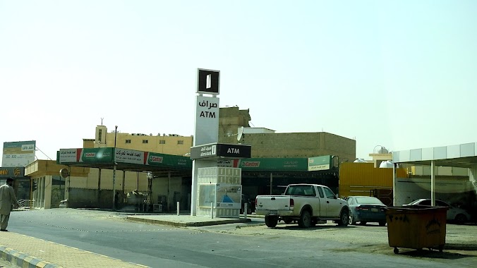
Atm nearby Al Rajhi ATM
Coronavirus disease (COVID-19) Situation
confirmed cases
841469
deaths
9646
Saudi Arabia
Atm nearby Al Rajhi ATM
Al Rajhi ATM
Al Huwailan, 52337, Buraydah, SA Saudi-Arabien
contacts phone
:
+966 9200 03344
website:
www.alrajhibank.com.sa
Latitude:
26.2871584
, Longitude:
43.9505555
larger map & directions
read more
nearest Atm
1.987 km
Alinma ATM
Al Huwailan, Buraydah
Atm
read more
3.239 km
Al Rajhi ATM
8700, 4266, Buraydah
Atm
read more
3.364 km
Al Rajhi ATM
سوق الماشية, Buraydah
Atm
read more
3.382 km
Saudi ATM Investment
6726 Al Qanat, Buraydah
Atm
read more
3.603 km
مصرف الراجحي
الموطا، بريدة
Atm
read more
3.657 km
Al Rajhi ATM
Khub Ath Thanyan, Buraydah
Atm
read more
3.982 km
Riyad ATM
8084 As Salimiyyah, Buraydah
Atm
read more
3.997 km
Al Rajhi ATM
As Sabbakh, Buraydah
Atm
read more
4.022 km
Al Rajhi ATM
8024 As Salimiyyah, Buraydah
Atm
read more
4.038 km
NCB ATM
Al Qanat, Buraydah
Atm
read more
4.183 km
SABB ATM
King Faisal Road, Buraydah
Atm
read more
4.222 km
الأهلي
شارع الصباخ، بريدة
Atm
read more
4.35 km
Al Rajhi ATM
King Faisal Road, Buraydah
Atm
read more
4.362 km
NCB ATM
At Taghirah, Buraydah
Atm
read more
4.371 km
بنك الرياض
شارع الصباخ، بريدة
Atm
read more
4.371 km
Riyad Bank
شارع الصباخ، بريدة
Atm
read more
4.455 km
Exchange National Bank
Buraydah
Atm
read more
4.486 km
Al Rajhi ATM
7312, 4387, Buraydah
Atm
read more
4.488 km
Riyad ATM
7662 الصباخ، الموطا بريدة 52354 3799 As Sabbakh, Buraydah
Atm
read more
4.497 km
Al Rajhi ATM
As Sabbakh, سوق الخضار, Buraydah
Atm
read more
4.507 km
Alinma ATM
Al Qanat, Buraydah
Atm
read more
4.596 km
Riyad ATM
7575, 4268, Buraydah
Atm
read more
4.609 km
Riyad ATM
Al Ujaybah, Buraydah
Atm
read more
4.62 km
Al Rajhi ATM
4121, Buraydah
Atm
read more
4.743 km
Bank Albilad ATM
King Abdulaziz Road, Buraydah
Atm
read more
📑
all categories
Accounting
Administrative area level 1
Airport
Amusement park
Aquarium
Art gallery
Atm
Bakery
Bank
Bar
Beauty salon
Bicycle store
Book store
Bowling alley
Bus station
Cafe
Campground
Car dealer
Car rental
Car repair
Car wash
Casino
Cemetery
Church
City hall
Clothing store
Colloquial area
Convenience store
Country
Courthouse
Dentist
Department store
Doctor
Electrician
Electronics store
Embassy
Finance
Fire station
Florist
Food
Funeral home
Furniture store
Gas station
General contractor
Grocery or supermarket
Gym
Hair care
Hardware store
Health
Hindu Temple
Home goods store
Hospital
Insurance agency
Intersection
Jewelry store
Laundry
Lawyer
Library
Light rail station
Liquor store
Local government office
Locality
Locksmith
Lodging
Meal delivery
Meal takeaway
Mosque
Movie rental
Movie theater
Moving company
Museum
Natural feature
Neighborhood
Night club
Painter
Park
Parking
Pet store
Pharmacy
Physiotherapist
Place of worship
Plumber
Point of interest
Police
Political
Post office
Premise
Real estate agency
Restaurant
Roofing contractor
Route
Rv park, camping
School
Shoe store
Shopping mall
Spa
Stadium
Storage
Store
Sublocality
Subpremise
Subway station
Supermarket
Taxi stand
Train station
Transit station
Travel agency
University
Veterinary care
Zoo
sublocality level 1
↑