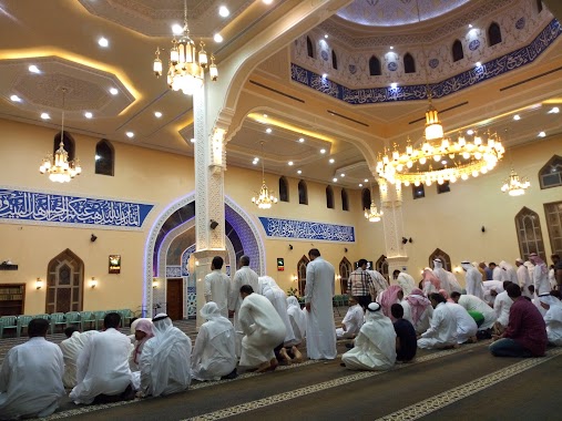
Mosque nearby Amna mosque
Coronavirus disease (COVID-19) Situation
confirmed cases
841469
deaths
9646
Saudi Arabia
Mosque nearby Amna mosque
Amna mosque
حاتم ابن مفرج, 32626, القطيف, SA Saudi Arabia
contacts phone
:
+966
Latitude:
26.5784252
, Longitude:
50.0289845
larger map & directions
read more
nearest Mosque
280 m
مسجد وحسينية (الإمام)
Al Qatif
Mosque
read more
533 m
مسجد الزهراء بالمنيرة
شارع المحسن البغدادي، الواحة،, Tarout
Mosque
read more
554 m
Масджид Фатима Аз-Захраа
6325 داوود الظاهري، Al Wahah,Al Qatif 32626 2808
Mosque
read more
556 m
Alzahra Mosque
Al Wahah
Mosque
read more
994 m
مسجد الإمام الرضا
2922 Ar Rida Street, Al Qatif
Mosque
read more
1.155 km
Khalid ibn al-Walid Mosque in Qatif
3583 31ا, Al Qatif
Mosque
read more
1.187 km
مسجد الامام زين العابدين عليه السلام
القطيف
Mosque
read more
1.195 km
مسجد الامام الرضا
Ar Rida
Mosque
read more
1.228 km
مسجد الإمام زين العابدين
32619, Al Qatif
Mosque
read more
1.294 km
Almurtda Mosque
Uhud Road, Al Qatif
Mosque
read more
1.294 km
مسجد وحسينية المرتضى
Uhud Road, Al Qatif
Mosque
read more
1.415 km
Al Mustafa mosque
Tarout
Mosque
read more
1.606 km
مجمع الحجة الخيري
Al Qatif
Mosque
read more
1.748 km
مسجد الإمام الحسن المجتبى
An Nassirah
Mosque
read more
1.781 km
Jafar Tayyar Mosque
1 (A) Street, Al Qatif
Mosque
read more
2.098 km
مسجد الرسالة
Al Qatif
Mosque
read more
2.131 km
Al-Hamza bin Abdulmuttalib Mosque
Al Qatif
Mosque
read more
2.233 km
مسجد الرسول الأعظم بالدخل المحدود
Al Fath
Mosque
read more
2.233 km
مسجد الإمام المهدي (عج) بالخامسة
Al Qatif
Mosque
read more
2.329 km
مسجد المحروس
Al Qatif
Mosque
read more
2.331 km
Al-Mahroos Mosque
Ash Shati
Mosque
read more
2.419 km
Mosque
3998, Al Qatif
Mosque
read more
2.48 km
حسينية الفارس
8369 ابو بكر الصديق, Al Qatif
Mosque
read more
2.495 km
حسينية الصديقة فاطمة الزهراء عليها السلام
3220 Al Jadawil, Al Qatif
Mosque
read more
2.51 km
Imam Hussein Mosque
Tarout
Mosque
read more
📑
all categories
Accounting
Administrative area level 1
Airport
Amusement park
Aquarium
Art gallery
Atm
Bakery
Bank
Bar
Beauty salon
Bicycle store
Book store
Bowling alley
Bus station
Cafe
Campground
Car dealer
Car rental
Car repair
Car wash
Casino
Cemetery
Church
City hall
Clothing store
Colloquial area
Convenience store
Country
Courthouse
Dentist
Department store
Doctor
Electrician
Electronics store
Embassy
Finance
Fire station
Florist
Food
Funeral home
Furniture store
Gas station
General contractor
Grocery or supermarket
Gym
Hair care
Hardware store
Health
Hindu Temple
Home goods store
Hospital
Insurance agency
Intersection
Jewelry store
Laundry
Lawyer
Library
Light rail station
Liquor store
Local government office
Locality
Locksmith
Lodging
Meal delivery
Meal takeaway
Mosque
Movie rental
Movie theater
Moving company
Museum
Natural feature
Neighborhood
Night club
Painter
Park
Parking
Pet store
Pharmacy
Physiotherapist
Place of worship
Plumber
Point of interest
Police
Political
Post office
Premise
Real estate agency
Restaurant
Roofing contractor
Route
Rv park, camping
School
Shoe store
Shopping mall
Spa
Stadium
Storage
Store
Sublocality
Subpremise
Subway station
Supermarket
Taxi stand
Train station
Transit station
Travel agency
University
Veterinary care
Zoo
sublocality level 1
↑