Mosque nearby Al Khudar Mosque
Saudi Arabia
Mosque nearby Al Khudar Mosque
Al Khudar Mosque
مخطط الرواف،, مخطط الرواف، Buraydah 52379, Saudi Arabia
contacts phone
:
+966
Latitude:
26.3993116
, Longitude:
43.920203
larger map & directions
read more
nearest Mosque
365 m
Al Hussain Mosque
مخطط الرواف، 5383, Buraydah
Mosque
read more
370 m
مسجد ابو ريتاج
Buraydah
Mosque
read more
381 m
Al Hablain Grand Mosque
Buraydah
Mosque
read more
398 m
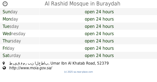
Al Rashid Mosque
طريق عمر بن الخطاب Umar Ibn Al Khatab Road, مخطط الرواف،, Buraydah
Mosque
read more
419 m
Aisha Mosque
Alrayan
Mosque
read more
420 m
مسجد عائشة رضي الله عنها
الريان، بريدة
Mosque
read more
532 m
Al Mudaifer Mosque
Umar Ibn Al Khatab Road, Buraydah
Mosque
read more
579 m
Obaidan Mosque
Umar Ibn Al Khatab Road, Buraydah
Mosque
read more
592 m
Muath Ibn Jabal Mosque
4584, Buraydah
Mosque
read more
620 m
Al Radhi Mosque
4432, 8228, Buraydah
Mosque
read more
662 m
Al Ajaji Mosque
Umar Ibn Al Khatab Road, مخطط الرواف, Buraydah
Mosque
read more
676 m
مسجد عبدالله الراشد الحميد
Al Rawaf Planning, Buraydah
Mosque
read more
682 m
مسجد
5522, مخطط الرواف, Buraydah
Mosque
read more
759 m
Ibn ِAl Qayyim Grand Mosque
Buraydah
Mosque
read more
774 m
الشيخ عبدالرحمن العقل
Buraydah
Mosque
read more
821 m
مسجد التوبة
Buraydah
Mosque
read more
828 m
Al Taqwa Mosque
Buraydah
Mosque
read more
831 m
Al Ajaji Mosque
Alrayan
Mosque
read more
867 m
مسجد
4334, Buraydah
Mosque
read more
936 m
Al Qanaah Mosque
3175, Buraydah
Mosque
read more
970 m
ِAl Moqaiteeb Mosque
Buraydah
Mosque
read more
995 m
Al Nahdah Mosque
Uthman Ibn Affan Road, Buraydah
Mosque
read more
998 m
Mosque
السبيعية،, Buraydah
Mosque
read more
1000 m
Al Subaiyyah Grand Mosque
7770, Buraydah
Mosque
read more
1.004 km
مسجد ابي الدرداء
7006, مخطط الرواف،, Buraydah
Mosque
read more
📑
all categories
Accounting
Administrative area level 1
Airport
Amusement park
Aquarium
Art gallery
Atm
Bakery
Bank
Bar
Beauty salon
Bicycle store
Book store
Bowling alley
Bus station
Cafe
Campground
Car dealer
Car rental
Car repair
Car wash
Casino
Cemetery
Church
City hall
Clothing store
Colloquial area
Convenience store
Country
Courthouse
Dentist
Department store
Doctor
Electrician
Electronics store
Embassy
Finance
Fire station
Florist
Food
Funeral home
Furniture store
Gas station
General contractor
Grocery or supermarket
Gym
Hair care
Hardware store
Health
Hindu Temple
Home goods store
Hospital
Insurance agency
Intersection
Jewelry store
Laundry
Lawyer
Library
Light rail station
Liquor store
Local government office
Locality
Locksmith
Lodging
Meal delivery
Meal takeaway
Mosque
Movie rental
Movie theater
Moving company
Museum
Natural feature
Neighborhood
Night club
Painter
Park
Parking
Pet store
Pharmacy
Physiotherapist
Place of worship
Plumber
Point of interest
Police
Political
Post office
Premise
Real estate agency
Restaurant
Roofing contractor
Route
Rv park, camping
School
Shoe store
Shopping mall
Spa
Stadium
Storage
Store
Sublocality
Subpremise
Subway station
Supermarket
Taxi stand
Train station
Transit station
Travel agency
University
Veterinary care
Zoo
sublocality level 1
↑