Mosque nearby Algebra Mosque
Saudi Arabia
Mosque nearby Algebra Mosque
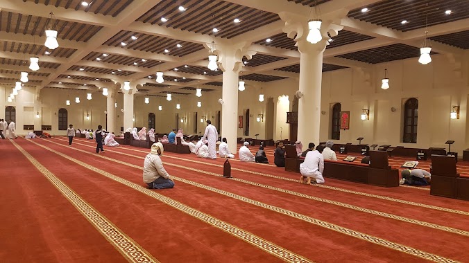
Algebra Mosque
7623, التجاري, 32252, Dammam, SA Saudi Arabia
contacts phone
:
+966
Latitude:
26.3953042
, Longitude:
50.110088
larger map & directions
read more
nearest Mosque
2 m
Abdul Latif bin Hamad Al-Jabr Mosque
Tijari Street, Dammam
Mosque
read more
410 m
مسجد الوالدين حمد البو علي
2904 3 ب, 7344, Dammam
Mosque
read more
410 m
مسجد حمد البو علي
2904 3 ب, 7344, Dammam
Mosque
read more
423 m
Maryam Aldabal Mosque
7957 8, Dammam
Mosque
read more
428 m
Al Nuzhah Mosque
15 F Street, Dammam
Mosque
read more
428 m
An Nuzhah Mosque
15 F Street, Dammam
Mosque
read more
447 m
Hafsa Mosque
Dammam
Mosque
read more
547 m
Al Yaqeen Mosque
2258 16 د, 7956, Dammam
Mosque
read more
599 m
جامع سعود المدعج
2715 3 د, 6971, Dammam
Mosque
read more
607 m
Alabbad Mosque
Al Jamiyin
Mosque
read more
626 m
مسجد أحمد العباد
Dammam
Mosque
read more
708 m
مسجد منيرة البراهيم المنصور
Ibtikar Street, Dammam
Mosque
read more
877 m
مسجد قاعة الاندلس
النزهة،, Dammam
Mosque
read more
877 m
مسجد هيا الشريف
Dammam
Mosque
read more
938 m
Hasan Albasri Mosque
Al Jamiyin
Mosque
read more
961 m
AbdulRahman bin Ahmed Al Tuwaijri Mosque
2411 Saqiyah Street, Dammam
Mosque
read more
976 m
Alanfal Mosque
Al Jamiyin
Mosque
read more
1.01 km
Madloolah Saad Al Dharman Mosque
6598 11 د, 2347, Dammam
Mosque
read more
1.034 km
مسجد شيخة الصايل
Abdullah Fuad
Mosque
read more
1.086 km
Hamad Almubarak Mosque
8224 Ibn Al Bitar Street, Dammam
Mosque
read more
1.105 km
Zayd Ibn Harithah Mosque
2918 3 ( C )St, Dammam
Mosque
read more
1.161 km
Ibn Katheer Mosque
Abdullah Fuad
Mosque
read more
1.165 km
مسجد ابن كثير
شارع مهد الذهب، حي عبدالله فؤاد، الدمام
Mosque
read more
1.223 km
Mosque
3444 الظلال, Dammam
Mosque
read more
1.24 km
Al Fateh Mosque
Ibn Al Bitar Street, Dammam
Mosque
read more
📑
all categories
Accounting
Administrative area level 1
Airport
Amusement park
Aquarium
Art gallery
Atm
Bakery
Bank
Bar
Beauty salon
Bicycle store
Book store
Bowling alley
Bus station
Cafe
Campground
Car dealer
Car rental
Car repair
Car wash
Casino
Cemetery
Church
City hall
Clothing store
Colloquial area
Convenience store
Country
Courthouse
Dentist
Department store
Doctor
Electrician
Electronics store
Embassy
Finance
Fire station
Florist
Food
Funeral home
Furniture store
Gas station
General contractor
Grocery or supermarket
Gym
Hair care
Hardware store
Health
Hindu Temple
Home goods store
Hospital
Insurance agency
Intersection
Jewelry store
Laundry
Lawyer
Library
Light rail station
Liquor store
Local government office
Locality
Locksmith
Lodging
Meal delivery
Meal takeaway
Mosque
Movie rental
Movie theater
Moving company
Museum
Natural feature
Neighborhood
Night club
Painter
Park
Parking
Pet store
Pharmacy
Physiotherapist
Place of worship
Plumber
Point of interest
Police
Political
Post office
Premise
Real estate agency
Restaurant
Roofing contractor
Route
Rv park, camping
School
Shoe store
Shopping mall
Spa
Stadium
Storage
Store
Sublocality
Subpremise
Subway station
Supermarket
Taxi stand
Train station
Transit station
Travel agency
University
Veterinary care
Zoo
sublocality level 1
↑