Mosque nearby Hamad Almubarak Mosque
Saudi Arabia
Mosque nearby Hamad Almubarak Mosque
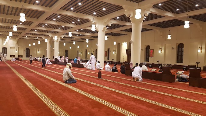
Hamad Almubarak Mosque
8224, Ibn Al Bitar Street, 32254, Dammam, SA Saudi Arabia
contacts phone
:
+966 13 826 3535
website:
www.moia.gov.sa
Latitude:
26.3952305
, Longitude:
50.0991857
larger map & directions
read more
nearest Mosque
463 m
مسجد أحمد العباد
Dammam
Mosque
read more
470 m
Thumamah Bin Uthal Mosque
Al Jamiyin
Mosque
read more
477 m
مسجد ثمامة بن أثال
3601 8 ا، الجامعيين، الدمام 32254
Mosque
read more
482 m
Alabbad Mosque
Al Jamiyin
Mosque
read more
511 m
Al Fateh Mosque
Ibn Al Bitar Street, Dammam
Mosque
read more
581 m
Nu'man Mosque
Sahl Ibn Qais Alaslami Street, Dammam
Mosque
read more
606 m
Aljameayeen Mosque
Al Jamiyin
Mosque
read more
645 m
Abdul-Rahman Ibn Abi Bakr Mosque
Dammam
Mosque
read more
724 m
An Nuzhah Mosque
15 F Street, Dammam
Mosque
read more
724 m
Al Nuzhah Mosque
15 F Street, Dammam
Mosque
read more
738 m
Alanfal Mosque
Al Jamiyin
Mosque
read more
800 m
Hasan Albasri Mosque
Al Jamiyin
Mosque
read more
803 m
مسجد سعد بن عبدالله العيد
4735 الاقحوان, Dammam
Mosque
read more
823 m
Al Yaqeen Mosque
2258 16 د, 7956, Dammam
Mosque
read more
876 m
Al Berr Mosque
Al Jamiyin
Mosque
read more
935 m
Al Yaeesh Mosque
2 Street, Dammam
Mosque
read more
938 m
Al Firdous Mosque
Ibn Majed Street, Dammam
Mosque
read more
1.084 km
Abdul Latif bin Hamad Al-Jabr Mosque
Tijari Street, Dammam
Mosque
read more
1.086 km
Algebra Mosque
7623 التجاري, Dammam
Mosque
read more
1.089 km
Abi Al Dardaa Mosque
6619 1 د, Dammam
Mosque
read more
1.102 km
Alsalam Mosque
2792 Ibrahim Tawqan Street, Dammam
Mosque
read more
1.146 km
Abdulwahab Abubshait Mosque
Muslim Ibn Alwaleed Street, Dammam
Mosque
read more
1.151 km
مسجد عبدالوهاب أبوبشيت
3768 مسلم بن الوليد، الواحة، الدمام 32254
Mosque
read more
1.158 km
مسجد الرحمة
Urjuan Street, Dammam
Mosque
read more
1.163 km
Amina Alhasoon Mosque
Ar Rayyan
Mosque
read more
📑
all categories
Accounting
Administrative area level 1
Airport
Amusement park
Aquarium
Art gallery
Atm
Bakery
Bank
Bar
Beauty salon
Bicycle store
Book store
Bowling alley
Bus station
Cafe
Campground
Car dealer
Car rental
Car repair
Car wash
Casino
Cemetery
Church
City hall
Clothing store
Colloquial area
Convenience store
Country
Courthouse
Dentist
Department store
Doctor
Electrician
Electronics store
Embassy
Finance
Fire station
Florist
Food
Funeral home
Furniture store
Gas station
General contractor
Grocery or supermarket
Gym
Hair care
Hardware store
Health
Hindu Temple
Home goods store
Hospital
Insurance agency
Intersection
Jewelry store
Laundry
Lawyer
Library
Light rail station
Liquor store
Local government office
Locality
Locksmith
Lodging
Meal delivery
Meal takeaway
Mosque
Movie rental
Movie theater
Moving company
Museum
Natural feature
Neighborhood
Night club
Painter
Park
Parking
Pet store
Pharmacy
Physiotherapist
Place of worship
Plumber
Point of interest
Police
Political
Post office
Premise
Real estate agency
Restaurant
Roofing contractor
Route
Rv park, camping
School
Shoe store
Shopping mall
Spa
Stadium
Storage
Store
Sublocality
Subpremise
Subway station
Supermarket
Taxi stand
Train station
Transit station
Travel agency
University
Veterinary care
Zoo
sublocality level 1
↑