Mosque nearby مسجد خالد بن الوليد رضي الله عنه
Saudi Arabia
Mosque nearby مسجد خالد بن الوليد رضي الله عنه
مسجد خالد بن الوليد رضي الله عنه
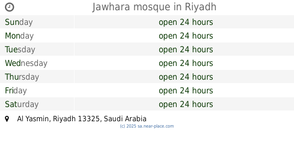
3919، Al Yasmin, Riyadh 13325, Saudi Arabia
contacts phone
:
+966
Latitude:
24.8196668
, Longitude:
46.6330955
larger map & directions
read more
nearest Mosque
166 m
Mousa mosque
Prince Abdullah Bin Saud Bin Abdullah Snatan Al Saud, Riyadh
Mosque
read more
261 m
Abdullah Bin Jebreen Masjed
Ar Radif, Riyadh
Mosque
read more
307 m
مسجد واحةالياسمين
6762, 3822, Riyadh
Mosque
read more
307 m
Ramadan Mosque
6777, Riyadh
Mosque
read more
362 m
مسجد الجوهرة بنت سويلم بن فوزان السويلم
Riyadh
Mosque
read more
363 m
Jawhara mosque
Riyadh
Mosque
read more
377 m
Um Ibrahim Sultan Masjed
Prince Abdullah Bin Saud Bin Abdullah Snatan Al Saud, Riyadh
Mosque
read more
432 m
جامع سلطان بن حمد السلطان
7104 Al Nafl, Riyadh
Mosque
read more
644 m
Masjid Al-Hajri
7535, Riyadh
Mosque
read more
659 m
مسجد العجاجي
3509 Al Nassefa, Riyadh
Mosque
read more
682 m
مسجد جامع ام عبدالعزيز المنيع
6829, Riyadh
Mosque
read more
682 m
Um Abdulaziz Al-Manea Mosque
6829, Riyadh
Mosque
read more
696 m
مسجد الياسمين
Al Yasmin
Mosque
read more
756 m
Salim Sulaiman Al-Ahmad mosque
Riyadh
Mosque
read more
774 m
مسجد الشيخ فهد الشثري
3903, Riyadh
Mosque
read more
798 m
Mosque
Ahmed Al Ansari Al Khazraji, Riyadh
Mosque
read more
832 m
Sheikh Hamad Al Hammadi Mosque
رقم 202, Riyadh
Mosque
read more
846 m
مسجد الياسمين
8066 الشواطي, Riyadh
Mosque
read more
882 m
Ruqaya Al Daba'an Masjed
3330, Riyadh
Mosque
read more
886 m
Al-Fayiz Mosque
Al Naqra, Riyadh
Mosque
read more
889 m
Masjid Saad bin Abdulrahman transplanted
Al Dawair, Riyadh
Mosque
read more
919 m
Alftymani mosque
الأصيل, Riyadh
Mosque
read more
964 m
مسجد الهجرة
6549, Riyadh
Mosque
read more
995 m
Almufadda Mosque
Riyadh
Mosque
read more
995 m
Almufadda Mosque
As Sahafah
Mosque
read more
📑
all categories
Accounting
Administrative area level 1
Airport
Amusement park
Aquarium
Art gallery
Atm
Bakery
Bank
Bar
Beauty salon
Bicycle store
Book store
Bowling alley
Bus station
Cafe
Campground
Car dealer
Car rental
Car repair
Car wash
Casino
Cemetery
Church
City hall
Clothing store
Colloquial area
Convenience store
Country
Courthouse
Dentist
Department store
Doctor
Electrician
Electronics store
Embassy
Finance
Fire station
Florist
Food
Funeral home
Furniture store
Gas station
General contractor
Grocery or supermarket
Gym
Hair care
Hardware store
Health
Hindu Temple
Home goods store
Hospital
Insurance agency
Intersection
Jewelry store
Laundry
Lawyer
Library
Light rail station
Liquor store
Local government office
Locality
Locksmith
Lodging
Meal delivery
Meal takeaway
Mosque
Movie rental
Movie theater
Moving company
Museum
Natural feature
Neighborhood
Night club
Painter
Park
Parking
Pet store
Pharmacy
Physiotherapist
Place of worship
Plumber
Point of interest
Police
Political
Post office
Premise
Real estate agency
Restaurant
Roofing contractor
Route
Rv park, camping
School
Shoe store
Shopping mall
Spa
Stadium
Storage
Store
Sublocality
Subpremise
Subway station
Supermarket
Taxi stand
Train station
Transit station
Travel agency
University
Veterinary care
Zoo
sublocality level 1
↑