Point of interest nearby Baghaffar / Family Pharma صيدليات الأسرة
Saudi Arabia
Point of interest nearby Baghaffar / Family Pharma صيدليات الأسرة
Baghaffar / Family Pharma صيدليات الأسرة
Jeddah Saudi Arabia
contacts phone
:
+966
Latitude:
21.6105825
, Longitude:
39.1961557
read more
nearest Point of interest
8 m
Kingdom of Doctors
Abi Habib Al Ansari, Jeddah
Point of interest
read more
319 m
SAPTCO drivers housing
6872 Al Amir Mitib Al Marwah District Jeddah 23541
Point of interest
read more
480 m
Marwah Complex
Jeddah
Point of interest
read more
516 m
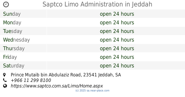
Saptco Limo Administration
Prince Mutaib bin Abdulaziz Road, 6722 Prince Mutaib bin Abdulaziz Rd, Al Marwah District Jeddah 23541 3597
Point of interest
read more
739 m
شقق فاخرة
حي المروة، جدة
Point of interest
read more
829 m
ناس مصر للشحن
شارع الامير ماجد، حي الربوة، جدة
Point of interest
read more
835 m
ريشة الابداع للدعاية والإعلان
شارع الاميرماجد ، الربوه، جدة
Point of interest
read more
887 m
دهب كلين لاعمال السباكة
الانقري، المروة،, Jeddah
Point of interest
read more
891 m
Tolips Flowers توليب للزهور
Prince Mutaib bin Abdulaziz Road, Hira St, مع Hira Street with the Forty Street تقاطع, Jeddah
Point of interest
read more
915 m
مكتب الوسام الافضل للإستقدام
شارع الأمير ماجد، الربوة، جدة
Point of interest
read more
938 m
مجموعة شركة الفراس التعليمية
شارع الامير ماجد، الربوة، جدة
Point of interest
read more
1.001 km
بناية النور
بناية النور، الحيدري، المروة، جدة 23541،
Point of interest
read more
1.002 km
مشغل الخنساء
شارع الزجاجي - المروة، جدة
Point of interest
read more
1.048 km
Ibrahim Marzzouki photo studio
2755 Al Shikh Abdullaziz Bin Baz, 8415, Jeddah
Point of interest
read more
1.113 km
مكتب رحلة سعيدة - Rehlah Saeeda
2658 Al Haydari, Al Marwah District, Jeddah
Point of interest
read more
📑
all categories
Accounting
Administrative area level 1
Airport
Amusement park
Aquarium
Art gallery
Atm
Bakery
Bank
Bar
Beauty salon
Bicycle store
Book store
Bowling alley
Bus station
Cafe
Campground
Car dealer
Car rental
Car repair
Car wash
Casino
Cemetery
Church
City hall
Clothing store
Colloquial area
Convenience store
Country
Courthouse
Dentist
Department store
Doctor
Electrician
Electronics store
Embassy
Finance
Fire station
Florist
Food
Funeral home
Furniture store
Gas station
General contractor
Grocery or supermarket
Gym
Hair care
Hardware store
Health
Hindu Temple
Home goods store
Hospital
Insurance agency
Intersection
Jewelry store
Laundry
Lawyer
Library
Light rail station
Liquor store
Local government office
Locality
Locksmith
Lodging
Meal delivery
Meal takeaway
Mosque
Movie rental
Movie theater
Moving company
Museum
Natural feature
Neighborhood
Night club
Painter
Park
Parking
Pet store
Pharmacy
Physiotherapist
Place of worship
Plumber
Point of interest
Police
Political
Post office
Premise
Real estate agency
Restaurant
Roofing contractor
Route
Rv park, camping
School
Shoe store
Shopping mall
Spa
Stadium
Storage
Store
Sublocality
Subpremise
Subway station
Supermarket
Taxi stand
Train station
Transit station
Travel agency
University
Veterinary care
Zoo
sublocality level 1
↑